We at Stema Systems know that having the most accurate data at the hands of the projects is vital for the efficiency. Therefore we have developed a positioning system that will enable the user to conduct surveys and other maritime analysis to the highest degree of accuracy, using the latest GNSS technology incorporated into a Stema unit that is unique in the market.
Stema Systems has seen these systems used in a number of applications, such as but not limited to multi-beam surveys, positioning of Wind turbine foundations, the co-development of a cable touch downs system to mention but a few.
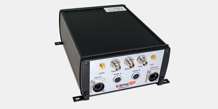
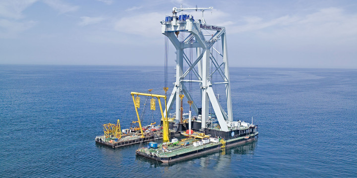
The Stema Dredge Positioning System (DPS) is a highly versatile positioning system built up around the Stema GNSS-982PoE receiver. With its […]
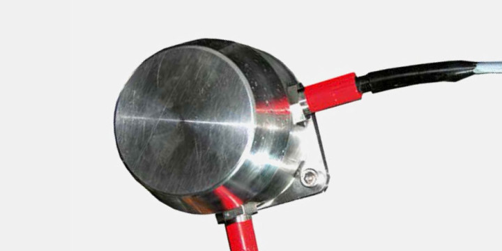
P-160 Subsea PoE tilt sensor
Range tilt -80/+80. Stainless steel housing with steel baseplate. 3x M18x1,5 openings for PoE in, out and optional external sensor
PR-6060 Subsea PoE roll pitch sensor
Range pitch/roll -30/+30. Stainless steel housing with steel baseplate. 3x M18x1,5 openings for PoE in, out and optional external sensor
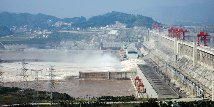
China Yangtze Three Gorges Project (TGP), as one of the biggest hydropower-complex project in the world, ranks as the key […]

The Kralingse Plas is situated near to Rotterdam, The Netherlands, town centre. The lake has an important recreational function. Nevertheless […]
Van Oord, a world leading dredging contractor, is frontrunner in maintenance dredging works with their water injection dredging techniques. Natural […]
Dutch contractor Van Oord Dredging and Marine Contractors bv (Van Oord) has been awarded the contract for the engineering, procurement […]